Lidar in Gorrick Wood
John Harrison
- Regions:
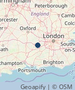
- Surrey, Oxfordshire, Buckinghamshire, Berkshire, Hampshire, Hertfordshire
- Notice Period:
- Short (maybe less than one month's notice)
- Type:
- Subject enthusiast, experienced speaker
- Fee:
- Unknown: Varies with size of group
- Category:
- Science
- Updated:
- 18th October 2025
- Tagged:
- Archaeology | Lidar
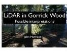
Airborne LiDAR can penetrate trees and bushes to reveal what lies underneath. LiDAR surveys provide a powerful tool for archaeologists and others to help understand what has happened in a landscape. I was intrigued when I saw a LiDAR image of Gorrick Wood, an area where I have walked extensively, containing several unusual features, so I went exploring to see what I could find 'on the ground'. This talk explains how LiDAR works, how the images are created, and what I managed to discover, including looking at old maps , and evidence of an apparently impossible railway bridge. See: https://jaharrison.me.uk/Talks/#GorrickLidar
Views: 389 | Enquiries: 0About John Harrison
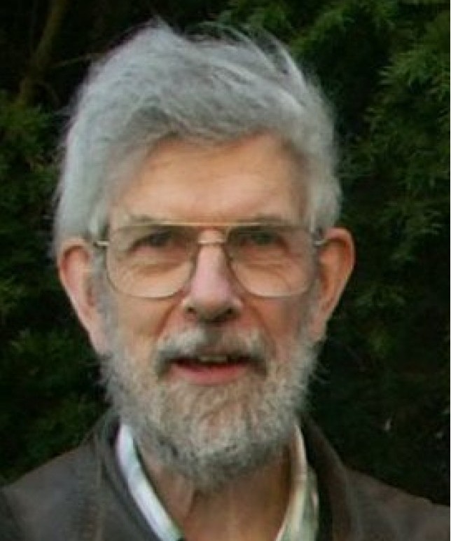
My career was half Chartered Engineer and half Chartered Ergonomics & Human Factors Consultant but I have many other interestes including: photography, fell walking, bell ringing, railways, bricks, human perception and maths. My talks draw on these wide interests and I have given over 250 talks to over 150 different groups. I'm based in Wokingham, Berkshire and can give in-person talks in the surrounding area. I'm also happy to do online talks. Details of each of my talks are on my website at: jaharrison.me.uk/Talks
Other Talks on SpeakerNet by John Harrison
- Living Heritage
- English-style bells and bellringing
- The Settle to Carlisle railway
- Bricks and Brickwork
- Iceland - land of ice and fire
- The Pennine Way
- I'll Take the High Road
- More than meets the eye
- The Human Factor
- Footpaths - an endangered species
- An evolving garden
- The music of bellringing
- The maths of bellringing
- The Technology of Bellringing
- The maths of sea waves
- The evolution of electronic displays
- On Growth and Form
- Wheels within wheels
- Changing landscape
Send a message to the speaker
If you are interested in this talk and wish to contact the speaker, please complete the following form: